Use APKPure App
Get Corse GPS Nautical Charts old version APK for Android
Biển và câu cá Charts - Sức mạnh của một plotter GPS trong lòng bàn tay của bạn
Flytomap là một sự thay thế hợp lệ và thú vị,
Nổi bật trên boong
Nổi bật trên Geomedia
Bản đồ hàng hải và ngoài trời trên toàn thế giới có sẵn khi được kết nối, nhờ xem.flytomap.com
Lớp phủ hình ảnh vệ tinh trên toàn thế giới trên biểu đồ
Tính năng Địa hình toàn cầu được phủ lên các biểu đồ, nhờ Bản đồ đường phố mở, Bản đồ chu kỳ mở, Trái đất, bản đồ địa hình của ESRI
Giờ đây với các biểu đồ raster NOAA liền mạch với các bản cập nhật liên tục từ máy chủ chính thức của Chính phủ
Hiện có ActiveCaptain - Cộng đồng người chèo thuyền trên toàn thế giới * 200.000 + Thuyền trưởng
Sử dụng để khám phá:
√ Vĩ độ và Kinh độ để đi đến những địa điểm yêu thích của bạn
√ Tìm kiếm trực tiếp các điểm yêu thích của bạn
√ Thu phóng, Xoay và Xoay nhanh chỉ bằng một cú chạm ngón tay
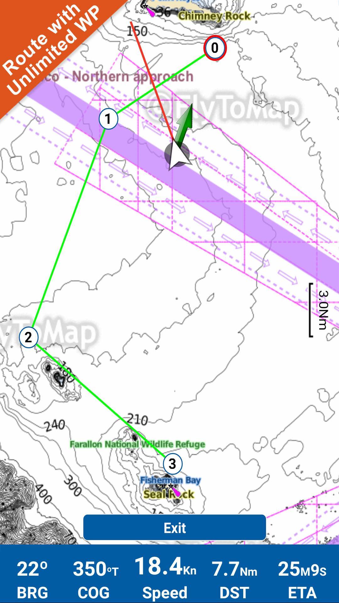
√ Tuyến đường có điểm tham chiếu không giới hạn
√ Với tính năng Head Up và Course Up
√ La bàn địa lý
√ Điều hướng và xem vị trí GPS của bạn trên bản đồ
√ Vector hướng về hướng chuyển động
√ Công cụ đo khoảng cách để dễ dàng tính toán khoảng cách từ vị trí này đến vị trí khác
√ Chèn mục tiêu/điểm đến và xem tốc độ, khoảng cách và phương hướng của bạn trong thời gian thực
√ chế độ nền - Flytomap cũng hoạt động ở chế độ nền, bạn có thể trao đổi với ứng dụng khác và nhận/thực hiện cuộc gọi gửi tin nhắn trong khi xoay và thu phóng.
√ Chia sẻ tuyến đường không giới hạn qua email, hiển thị trên Google, Flytomap Viewer, định dạng KMZ - Lưu trữ tuyến đường của bạn mà không cần dữ liệu di động hoặc tín hiệu di động
√ Công cụ chuyển đổi KMZ KML từ / sang GPX
√ Tối ưu hóa việc sử dụng pin
√ Đội trưởng năng động
• Xem và đóng góp cho cộng đồng những người chèo thuyền giỏi nhất trên thế giới
• Cập nhật liên tục tất cả thông tin (bao gồm cả các bài đánh giá từ bộ bài) về:
• Bến du thuyền
• Điểm neo
• Mối nguy hiểm
• Kiến thức địa phương
√ Và còn nhiều hơn thế nữa - Đây là ứng dụng duy nhất bạn cần! Biểu đồ của chúng tôi được cài đặt trên: NAVICO LOWRANCE B&G NORTHSTAR EAGLE SIMRAD
Theo chúng tôi:
►Twitter @flytomap
►Trang web flytomap.com
▶Trình xem ứng dụng web.flytomap.com
►Facebook facebook.com/flytomap
Toàn bộ bản đồ của Corse được bao gồm trong ứng dụng này.
Flytomap cam kết không ngừng cải tiến, Ứng dụng này được phát triển với sự trợ giúp của những người chèo thuyền chuyên nghiệp để có được trải nghiệm tốt nhất trên biển, chúng tôi lắng nghe người dùng và bổ sung một cách có hệ thống các tính năng được yêu cầu nhiều nhất.
Cảm ơn bạn đã phản hồi!
Thông tin bổ sung về sản phẩm Flytomap
BẢN ĐỒ NƯỚC (Hải quân):
Công cụ điều hướng bản đồ nước là 'Công cụ điều hướng hàng hải mới cho tất cả các thiết bị di động có chứa Biểu đồ hải lý điện tử (ENC) được nhúng từ NOAA được nén đến phạm vi phủ sóng lớn. Giờ đây, bạn có thể tải xuống ứng dụng và chuyển đổi Điện thoại của mình thành máy vẽ biểu đồ với bản đồ NOAA, ENC S57 tốt nhất ; bao gồm các khu vực neo đậu, khu vực câu cá, khu vực hạn chế, vật cản, đá, phao, đèn hiệu, đèn, đường viền độ sâu với Giá trị hiển thị trên bản đồ, Âm thanh điểm và hơn thế nữa. Ứng dụng hàng hải duy nhất hiện có trên thị trường với lượng thông tin khổng lồ như vậy. Mọi nỗ lực được thực hiện sao cho chính xác nhất có thể khi trình bày thông tin cho mọi điểm đến.
BẢN ĐỒ HỒ:
Chúng tôi cung cấp bản đồ hồ chất lượng cao với thông tin chi tiết và các tính năng quan trọng được nén để đảm bảo phạm vi phủ sóng lớn hơn ở khu vực Hoa Kỳ. Bản đồ hồ chứa hầu hết các hồ DNR quan trọng với 'Đường viền độ sâu, Đường dốc thuyền, điểm câu cá, v.v. Cũng bao gồm thông tin về Đường mòn, Đường bộ và Đường sắt.
BẢN ĐỒ DU LỊCH:
Các Bản đồ này chủ yếu cung cấp cho bạn thông tin về cả Hàng hải và địa hình tương ứng. Đây là những Bản đồ thích hợp nhất để đi du lịch, đặc biệt là cho các chuyến đi giải trí hấp dẫn, bản đồ tập trung vào các điểm Bãi biển tốt nhất dọc theo Đường bờ biển, Các cảng chính, Đi thuyền buồm, Câu cá, Khu dã ngoại, Công viên, Đi bộ đường dài, Đi xe đạp, Câu lạc bộ, nhà hàng, Khách sạn nổi tiếng, Bảo tàng, Khu vực mua sắm, và nhiều hơn nữa. Giới thiệu hướng dẫn trong trình điều hướng bản đồ để dễ dàng tham khảo, bạn có thể sử dụng nó mà không cần bất kỳ kết nối Internet đang hoạt động nào!
“Chúng tôi làm việc để tận hưởng những khoảnh khắc của bạn”
! Tận hưởng những chuyến đi tuyệt vời!
Last updated on Oct 26, 2022
Minor bug fixes and improvements. Install or update to the newest version to check it out!
Phiên bản mới nhất
![]() 4.4.3.7.4
4.4.3.7.4
Yêu cầu Android
5.0
Available on
![]()
Danh mục
Báo cáo


Discover what you want easier, faster and safer.

Corse GPS Nautical Charts
4.4.3.7.4 by FLYTOMAP INC
Oct 26, 2022
$3.99