Use APKPure App
Get AISPilot old version APK for Android
Nautical Chart navigator - AIS-apparatuur (WiFi of Bluetooth) .OpenSeaMap
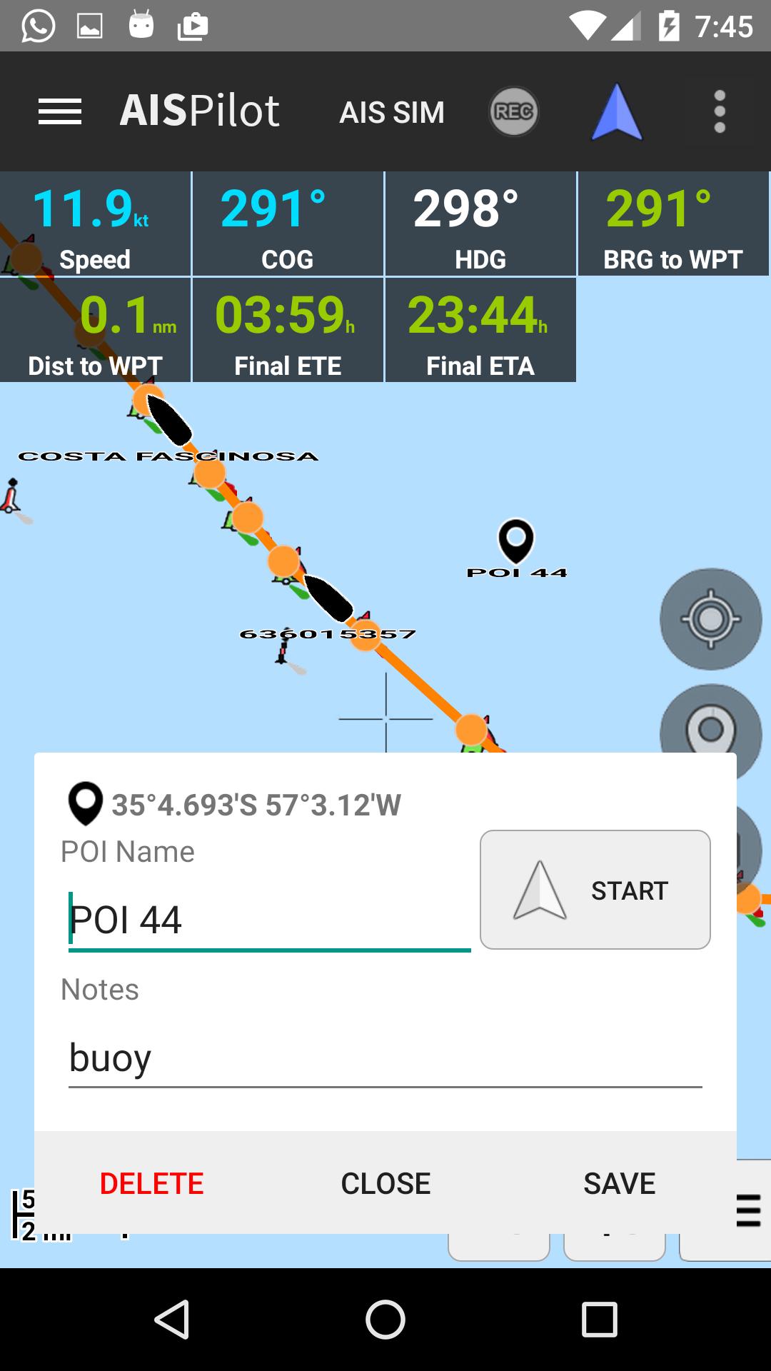
AISPilot is a gps navigator with support for AIS (Automatic Identification System). It works with offline maps from OpenSeaMap project.
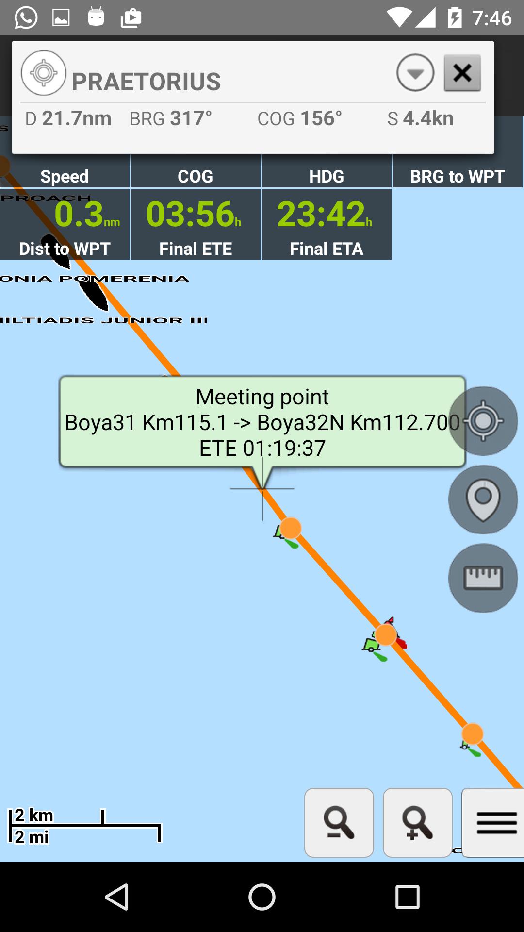
The application provides real-time AIS data , supporting different sources, WIFI and Bluetooth AIS devices, GPS Bluetooth and Built-in GPS.
Highlighted Features:
- Real time AIS data
- Offline maps based on Open Sea Map project.
- Download of OpenStreetMap maps of every country in the world
- Conection to AIS transponders.
- Vessels monitoring in Real Time.
- Customizing the displayed informatión.
- Record of Tracks
- Record of Point of interests
- GPX Routes Navigation ascending or descending
- Meeting and overtake points
- CPA and TCPA calculations
Last updated on May 1, 2019
Minor bugs fixed
Laatste Versie
![]() 04_2019
04_2019
Geüpload door
Argent Abhi Otsuki
Android vereist
Android 4.0+
Categorie
Melden


Discover what you want easier, faster and safer.
