Use APKPure App
Get Offroad old version APK for Android
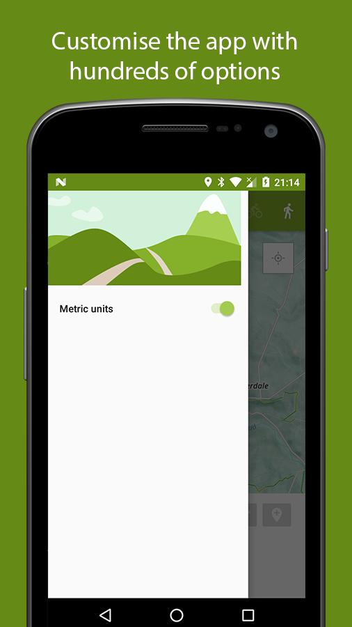
Create routes for MTB'ing and trail running
Very early release, half finished. I was tired of the Strava route planner crashing on me so I made my own.
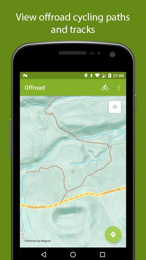
Uses Open Street Map data provided by Mapzen. Mapzen allows overlays to be shown over the map to help show you the rights of way. The base of this is their slightly altered Walkabout map which has the Key:
Cycling:
Brown: off road path/track
Green: Designated cycle lane
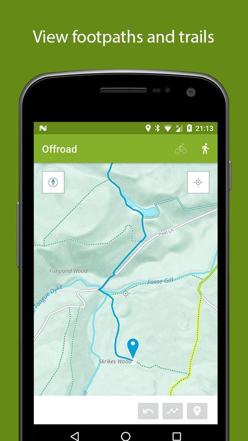
Walking:
Green: footpath
Yellow: National or regional route.
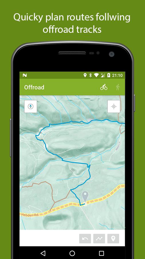
To create routes you drop way points in the centre of the map, either auto or manual. Auto will follow paths and roads and so on, where manual will just connect a straight line between the points. Auto should be preferred, giving you much better distance accuracy, though with open street maps, data its not always faultless. If junctions are not connected or paths are missing this is where manual comes in. You can quick jump across the problem area and continue using auto again.
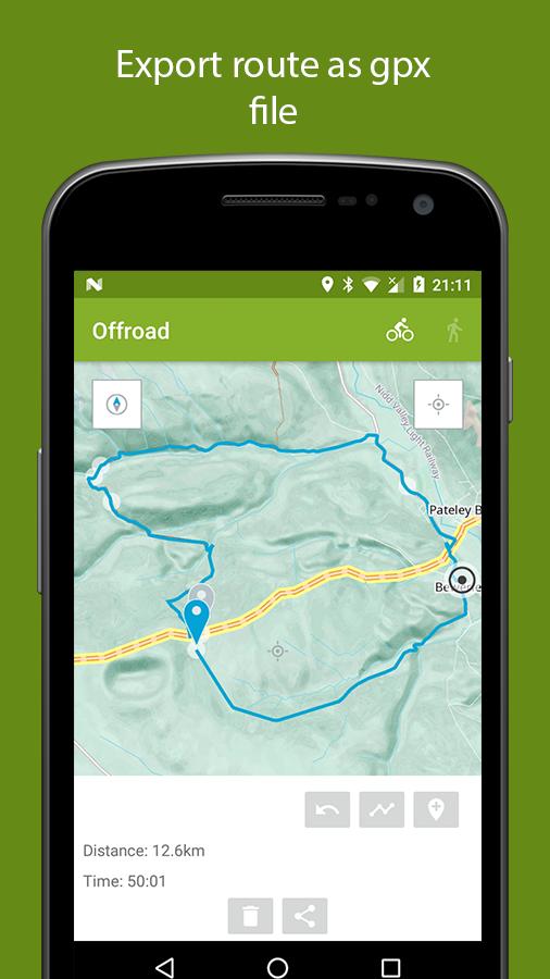
Swipe up to export the route as a gpx file. Probably best sending it to Google drive to open in other apps, or of course it should share with Ghostracer, the best GPS tracker there is(some say).
Known bugs: crashes with repeated rotations. Caused by the Mapzen android library getting locations.
Last updated on Jan 1, 2018
Minor bug fixes and improvements. Install or update to the newest version to check it out!
Discover what you want easier, faster and safer.

Offroad
Route planner0.01 by Brave the Skies
Jan 1, 2018