APKPure Appを使用する
ObMapの旧いバージョンをダウンロードすることが可能
地図、ルート、トラック、ナビゲーション、船舶及び道路交通情報エイズ
Maps, route, track, navigation and ship- and road traffic information aids
Map from Google, Open Street and Eniro
- Map View
- Terrain view
- Satellite view
- Land and sea maps
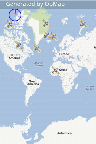
- GPS satellite views
Off-line map upload
Search waypoint
- An address
- Contacts
- Some keywords like restaurant, parking, gasoline, etc.
Waypoints and routes
- Google by car and by foot routing
- Direct route with length measurement
- Waypoint
Tracks
- Save track
- Height and speed profile tracks
Navigation
Road traffic information
Ship information
Groups, to see where your friends are.
Voice assistant for traffic safety when navigating.
Compass
Share your map with the track, waypoints and profile.
Need weather and news for your current location, ObRss provides it with a touch of the option menu
Last updated on 2017年09月15日
Adjusted Open Topo and corrected screen loading.


Discover what you want easier, faster and safer.

ObMap
map, route and tracks2.4 by Birikis
2017年09月15日