Use APKPure App
Get Abris old version APK for Android
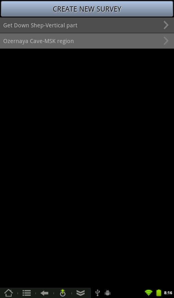
Abris is a cave surveying app.
Abris is aimed to make process of surveying faster and easier. Graphical editor was implemented in the app to make the drawing and editing of complex cave walls simple. The centerline is drawn automatically after each shot is added.
User interface was designed having in mind specifics of the work in caves. It demands minimum actions to add measurement and is easy on eyes.
Abris features:
- Drawing of centerline
- Graphical editor for drawing of lines and cave elements
- Entering of forward and backward shots
- Entering of information about survey
- Auto-hints of station names
- Closure error calculations and loop defining
- Statistical data
- Export/import of survey for transfer between devices
- Export of survey to vector (.svg), raster (.png) and csv formats
We continue development of the app. Following is the list of some planned features:
- Export to popular desktop applications for cave mapping
- DistoX support
- Walls guidelines based on LRUD data
- Cross-sections support
- Map symbols and labels
- Additional line types
- Attaching photos
Last updated on Jul 30, 2015
Export to Therion format
Minor fixes and improvements
Latest Version
![]() 1.2.0
1.2.0
Uploaded by
Latonia Stinnett
Requires Android
Android 2.3.4+
Category
Report


Discover what you want easier, faster and safer.

Abris
1.2.0 by Igor Shturma
Jul 30, 2015