Use APKPure App
Get 登山地図 old version APK for Android
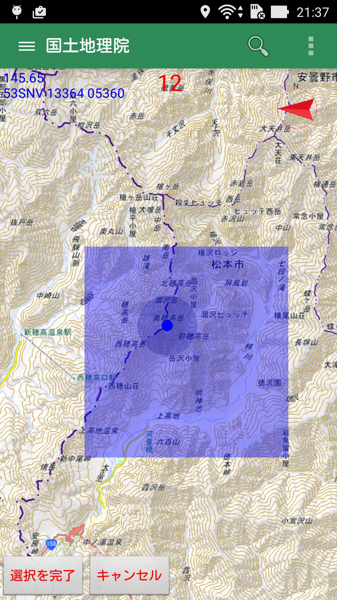
It is an application that displays the map of the Geographical Survey Institute. If you save the map, you can view it offline. There is a track log function. Convenient for mountaineering, hiking, trekking and fishing.
With this app, you can check your current location on the map (Geographical Survey Institute map) by saving the map in advance even in places where radio waves do not reach.
You can reduce the risk of getting lost by climbing or hiking. You can also save the walking track as a gps file.
■ You can check your current location on the map
Simply tap the "You are here" button at the bottom of the screen and the red mark of your current location will be displayed on the map. Since the GPS function of the terminal is used,
GPS function must be turned on. In addition, you can save the location information of your current location as a registered location with the touch of a button.
.
* Note: This app does not collect location information.
The use of location information is the following functions only within this app.
(1) Display your current location on a map.
(2) Track log recording.
■ Track log (walking track, hereafter log) can be saved
With the background function, this app can log even if you are using other apps. When saving is completed,
Save it in the app as a GPX fal.
* Note: Even if the app is closed, it is recorded in the background, so start the app again and start it again.
Keep recording until you are finished.
■ Maps can be displayed even outside the service area
If you save the map in advance, you can display the map even if you are out of service or offline. You can save
Only the map of the Geographical Survey Institute. There is no limit to the range that can be saved at one time.
.
■ Can display GPX files
You can read the GPX file downloaded from Yamareco etc. and display the trajectory on the map.
You can walk while checking your current location and trajectory. You can reduce the risk of getting lost by climbing or hiking.
■ You can register the location
You can register the position you want to remember and display it on the map. You can register up to 1000 locations.
■ Distance can be measured
If you select distance measurement from the menu, you can measure the distance by simply tapping on the screen.
.
■ Precautions for use
If you use it for mountain climbing, please bring a map, compass and spare battery just in case.
In addition, this author is not responsible for any loss or damage such as distress caused by using this application.
■ Inquiries
Service: https://gacool.jp
Email: [email protected]
Last updated on Sep 8, 2024
Android14に対応しまいた。
Latest Version
![]() 9.9.8
9.9.8
Uploaded by
Samart Chinnakarnsawat
Requires Android
Android 6.0+
Available on
![]()
Category
Report


Discover what you want easier, faster and safer.
